
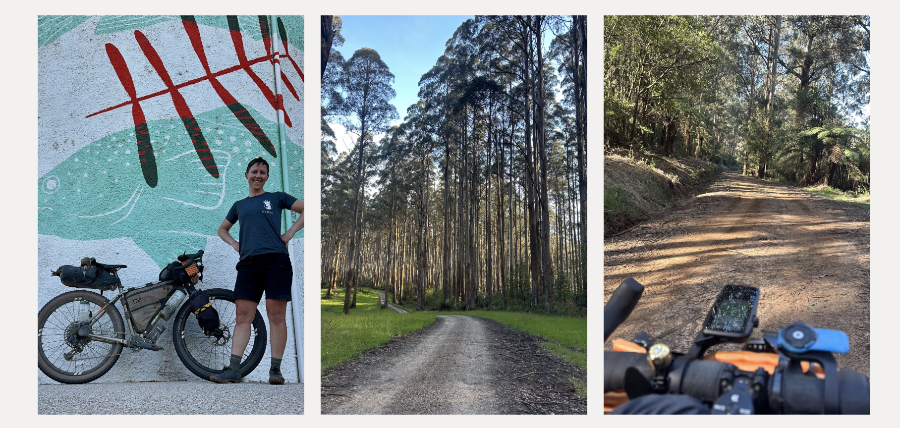
Want to join Erin?
The Curve FLINTA* 850 is a self supported gravel bikepacking adventure. The route was drawn up by Curve’s own April Drage to showcase the value and need for a challenging, bikepacking event for FLINTA* riders. The route begins in central Melbourne and traverses the Victorian High Country; think wild and deeply rewarding rather than beginner friendly. Inspired by Lael’s Rallies, this event is not a race, just an opportunity to head out at the same time as like minded people, with a focus on connection and personal challenge, not competition.
THE Curve FLINTA* 850 POST-RECON NITTY GRITTY
The following route description is broken down into sections for ease of writing.
It is not a guide or a recommendation as to how this route should be dissected to ride. How this route is ridden, will be based on the skills and experience of the rider. A word of caution; it’s hilly out there and some of these kilometers might take a bit longer than you think.
Melbourne to Marysville 154km
No surprises in the first 40; bikepaths and backstreets as a safe exit from Melbourne CBD.
The route becomes progressively more gravelly before a few short climbs on well worn tracks deliver you to Kinglake. Marginal Road (of Border Run XL fame) is where the climbing begins in earnest. From there, the terrain becomes a little more adventurous; the trees get bigger and the Yea River might make for a muddy crossing. Before you know it you’ll find yourself in Marysville. If you’re lucky the Marysville Grocer will still be open because you’re sure to need the fuel to get you through the section that follows.
Marysville to Jamieson 108km
You’ll be climbing again almost immediately as you leave Marysville. Champagne gravel, huge ferns and river views are on offer. Remember this champagne gravel, as the reward for effort will be in the form of the combination of Bullfight Road, through to Gillet Track. The gradient will be as memorable as the view from the top; these rugged, beautiful tracks are really something special. It’s during this section that you’ll receive the first glimpse of the layered mountain view that the Victorian High Country is known for. A word of warning about Hughes Road; this is a necessary evil if you want to enjoy the gold that’s found either side of it. Hughes Road is only short and walking is a valid option to get through the spicy descent safely. When you’re done with the steep dirt roller coaster that is Gillet Track, it’s bitumen all the way to Jamieson, where a rustic country pub and well stocked general store will revive you.
Jamieson to Dargo 291km
So many highlights through this section, with the first being the 38km (1500vm) Mount Skene gravel climb. You can expect views of the surrounding mountains then ferns and tall trees on the winding gravel roads beyond. A fast, hot mix descent to Licola (read - another well stocked General Store) will be a welcome break before the climbing begins again. Tamboritha Road winds its way along the Wellington River and is littered with campsites. Tamboritha Road is the gateway to the Alpine National Park and you’ll notice the vegetation change as you progress up the climb. Once you’ve made your way down to river level once more you’ll have the option to make a short detour into the tiny town of Briagolong. Beyond Briagolong it’s a scenic and comparatively flat ride to Dargo.
Dargo to Bright 170km
This next section is all killer and no filler. Ever wondered what an off-road Mount Hotham experience would look like? Well, you’re going to find out. Expect some ouch worthy gradients, with a very rideable surface (the steepest parts are sealed!) on the Dargo High Plains Road. You’ll also find surreal vistas and an iconic summit.
Don’t be disappointed when the bomber descent you’re looking for doesn’t arrive until you’re almost at Mount Beauty; good things are worth waiting for. Instead of the smooth Hotham descent, you’ll find a few rocks, some fun and rollable creek crossings and the false sense that you’ve officially found your way to the middle of nowhere. Gravel backroads with just a little bit of spice will get you through to the heart of the Victoria High Country (the town of Bright) with a late night supermarket, bike shop and accommodation options galore.
Bright to THE FINISH!! 135km
20km of bike paths and bitumen will get you to the bottom of the last challenge of the route; Goldie Spur Track is a 9km climb with an average gradient of 10%. It’s rough at times but rideable. The descent itself is rocky at times, but by this point you’ll be very experienced at riding on this type of terrain. Besides, you’re on the edge of glory! From here it’s farmland, small towns and bikepaths to keep you well clear of the notorious Snow Road and onward to the Beacon which marks the end of this epic journey.